Gracious Pond Road
Introduction
The photograph on this page of Gracious Pond Road by Alan Hunt as part of the Geograph project.
The Geograph project started in 2005 with the aim of publishing, organising and preserving representative images for every square kilometre of Great Britain, Ireland and the Isle of Man.

There are currently over 7.5m images from over 14,400 individuals and you can help contribute to the project by visiting https://www.geograph.org.uk
Gracious Pond Road
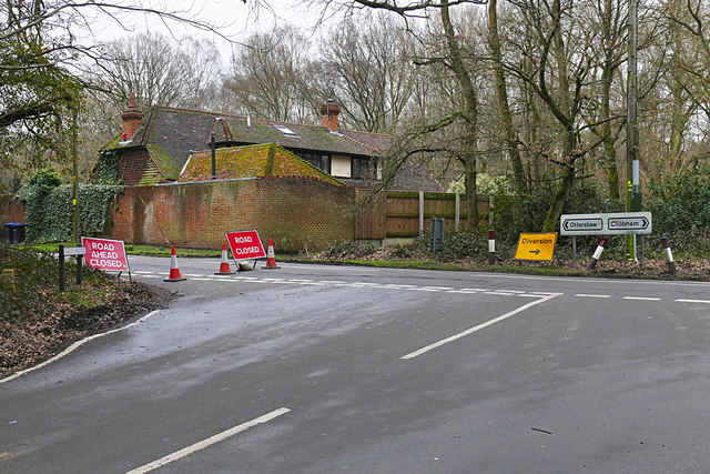
Image: © Alan Hunt Taken: 10 Mar 2016
The junction between Gracious Pond Road and the Stonehill Road. The Stonehill Road was closed to through traffic giving a golden opportunity to walk in peace.
Images are licensed for reuse under creativecommons.org/licenses/by-sa/2.0
Image Location
Latitude
51.360487
Longitude
-0.570003