The original course of The River Idle, near Bawtry
Introduction
The photograph on this page of The original course of The River Idle, near Bawtry by Neil Theasby as part of the Geograph project.
The Geograph project started in 2005 with the aim of publishing, organising and preserving representative images for every square kilometre of Great Britain, Ireland and the Isle of Man.

There are currently over 7.5m images from over 14,400 individuals and you can help contribute to the project by visiting https://www.geograph.org.uk
The original course of The River Idle, near Bawtry
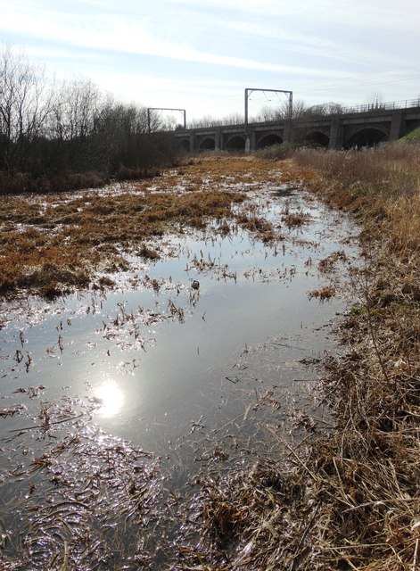
Image: © Neil Theasby Taken: 14 Mar 2016
The course of The River Idle was altered in order to facilitate construction of the main east coast railway line. In the middle ages, Bawtry was a very significant inland port and this stretch of the old river would have seen much commercial traffic.
Images are licensed for reuse under creativecommons.org/licenses/by-sa/2.0
Image Location


Leaflet Map data © OpenStreetMap
Latitude
53.430537
Longitude
-1.015492