Flood Relief Scheme, upstream of Hubbard's Hills, Louth: aerial 2016
Introduction
The photograph on this page of Flood Relief Scheme, upstream of Hubbard's Hills, Louth: aerial 2016 by Chris as part of the Geograph project.
The Geograph project started in 2005 with the aim of publishing, organising and preserving representative images for every square kilometre of Great Britain, Ireland and the Isle of Man.

There are currently over 7.5m images from over 14,400 individuals and you can help contribute to the project by visiting https://www.geograph.org.uk
Flood Relief Scheme, upstream of Hubbard's Hills, Louth: aerial 2016
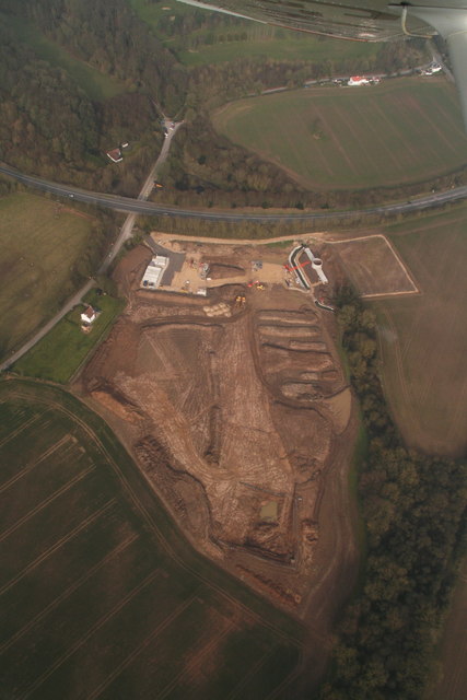
Image Location


Leaflet Map data © OpenStreetMap
Latitude
53.353481
Longitude
-0.02713