Blomfield Road Moorings
Introduction
The photograph on this page of Blomfield Road Moorings by Oliver Dixon as part of the Geograph project.
The Geograph project started in 2005 with the aim of publishing, organising and preserving representative images for every square kilometre of Great Britain, Ireland and the Isle of Man.

There are currently over 7.5m images from over 14,400 individuals and you can help contribute to the project by visiting https://www.geograph.org.uk
Blomfield Road Moorings
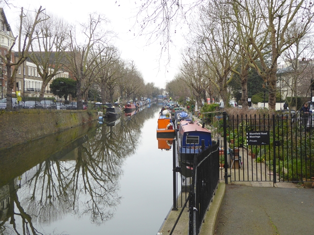
Image: © Oliver Dixon Taken: 8 Mar 2016
Residential barges on the Regent's Canal. The canal-side path here is diverted along the adjoining road.
Images are licensed for reuse under creativecommons.org/licenses/by-sa/2.0
Image Location
Latitude
51.523843
Longitude
-0.178426