Ham Street, approaching the Manor
Introduction
The photograph on this page of Ham Street, approaching the Manor by Stefan Czapski as part of the Geograph project.
The Geograph project started in 2005 with the aim of publishing, organising and preserving representative images for every square kilometre of Great Britain, Ireland and the Isle of Man.

There are currently over 7.5m images from over 14,400 individuals and you can help contribute to the project by visiting https://www.geograph.org.uk
Ham Street, approaching the Manor
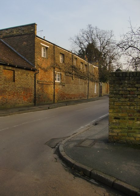
Image: © Stefan Czapski Taken: 11 Mar 2016
The long, low building is one of the Manor's outbuildings. Stables perhaps - but rather more architectural effort generally goes into stables, with clock-tower and cupola.
Images are licensed for reuse under creativecommons.org/licenses/by-sa/2.0
Image Location
Latitude
51.440539
Longitude
-0.314409