The White Hart, Bagshot
Introduction
The photograph on this page of The White Hart, Bagshot by Alan Hunt as part of the Geograph project.
The Geograph project started in 2005 with the aim of publishing, organising and preserving representative images for every square kilometre of Great Britain, Ireland and the Isle of Man.

There are currently over 7.5m images from over 14,400 individuals and you can help contribute to the project by visiting https://www.geograph.org.uk
The White Hart, Bagshot
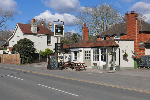
Image: © Alan Hunt Taken: 7 Mar 2016
The White Hart public house on the Guildford Road. It appears to be recent, there is no mention of a public house on this site before the 1970 OS maps. The village smithy occupied the site of the white house before the First World War.
Images are licensed for reuse under creativecommons.org/licenses/by-sa/2.0
Image Location
Latitude
51.360964
Longitude
-0.687624