Footpath to Helmshore
Introduction
The photograph on this page of Footpath to Helmshore by liz dawson as part of the Geograph project.
The Geograph project started in 2005 with the aim of publishing, organising and preserving representative images for every square kilometre of Great Britain, Ireland and the Isle of Man.

There are currently over 7.5m images from over 14,400 individuals and you can help contribute to the project by visiting https://www.geograph.org.uk
Footpath to Helmshore
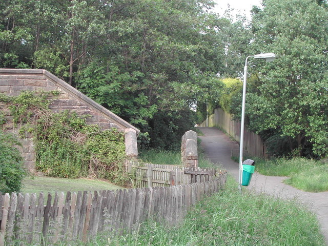
Image: © liz dawson Taken: Unknown
The wall on the left hides steps up to the dismantled railway and National Cycle Route 6 is off to the right.
Images are licensed for reuse under creativecommons.org/licenses/by-sa/2.0
Image Location
Latitude
53.688399
Longitude
-2.336123