North Pole Road Barming
Introduction
The photograph on this page of North Pole Road Barming by Ron Lee as part of the Geograph project.
The Geograph project started in 2005 with the aim of publishing, organising and preserving representative images for every square kilometre of Great Britain, Ireland and the Isle of Man.

There are currently over 7.5m images from over 14,400 individuals and you can help contribute to the project by visiting https://www.geograph.org.uk
North Pole Road Barming
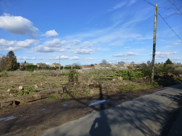
Image: © Ron Lee Taken: 4 Mar 2016
Redewood Road, seen in the distance, marks the current boundary of housing development in this part of Barming.
Images are licensed for reuse under creativecommons.org/licenses/by-sa/2.0
Image Location
Latitude
51.269983
Longitude
0.469123