Afon Dulas gateway
Introduction
The photograph on this page of Afon Dulas gateway by Jonathan Wilkins as part of the Geograph project.
The Geograph project started in 2005 with the aim of publishing, organising and preserving representative images for every square kilometre of Great Britain, Ireland and the Isle of Man.

There are currently over 7.5m images from over 14,400 individuals and you can help contribute to the project by visiting https://www.geograph.org.uk
Afon Dulas gateway
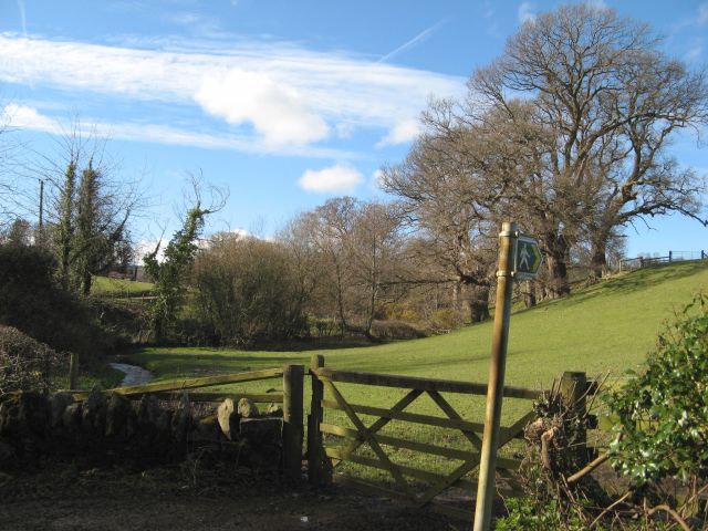
Image: © Jonathan Wilkins Taken: 10 Mar 2016
Gateway at the start of the public footpath to Highgate, with the meandering river at the foot of smooth pasture.
Images are licensed for reuse under creativecommons.org/licenses/by-sa/2.0
Image Location
Latitude
53.254127
Longitude
-3.679794