River Irvine
Introduction
The photograph on this page of River Irvine by Mary and Angus Hogg as part of the Geograph project.
The Geograph project started in 2005 with the aim of publishing, organising and preserving representative images for every square kilometre of Great Britain, Ireland and the Isle of Man.

There are currently over 7.5m images from over 14,400 individuals and you can help contribute to the project by visiting https://www.geograph.org.uk
River Irvine
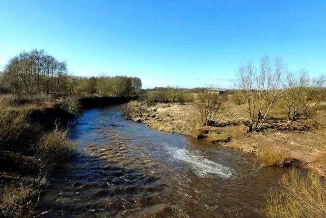
Image: © Mary and Angus Hogg Taken: 9 Mar 2016
Looking downstream from the Long Drive bridge. The river level was significantly higher on several occasions during the 2015-16 winter.
Images are licensed for reuse under creativecommons.org/licenses/by-sa/2.0
Image Location
Latitude
55.600129
Longitude
-4.635835