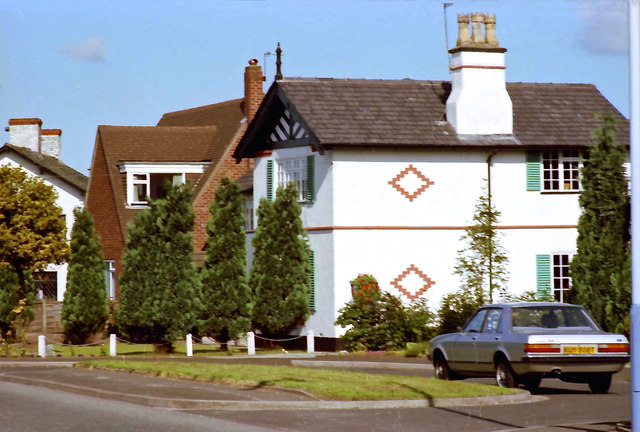
Houses on Hale Road, Hale Barns
Introduction
The photograph on this page of Houses on Hale Road, Hale Barns by Anthony O'Neil as part of the Geograph project.
The Geograph project started in 2005 with the aim of publishing, organising and preserving representative images for every square kilometre of Great Britain, Ireland and the Isle of Man.
There are currently over 7.5m images from over 14,400 individuals and you can help contribute to the project by visiting https://www.geograph.org.uk

Image: © Anthony O'Neil Taken: Unknown
The white building is the former farmhouse of Elm Farm which was still a working farm into the 1960s, although much reduced: farmland having been consumed in the construction of adjacent Ringway Golf Course, from 1909. In fact, the club had started by renting land from another adjacent farm - Oaklands - whose farmhouse eventually became the old clubhouse (which later burned down). Elm Farm probably gave its name to nearby Elmridge Drive, developed after the War. (Ringway is the neighbouring parish to Hale Barns and was, in a sense, isolated from it by the construction of the M56 motorway. Until it became 'International', Manchester Airport was called 'Ringway'.)

