Cannon Lane Methodist Church
Introduction
The photograph on this page of Cannon Lane Methodist Church by Christine Johnstone as part of the Geograph project.
The Geograph project started in 2005 with the aim of publishing, organising and preserving representative images for every square kilometre of Great Britain, Ireland and the Isle of Man.

There are currently over 7.5m images from over 14,400 individuals and you can help contribute to the project by visiting https://www.geograph.org.uk
Cannon Lane Methodist Church
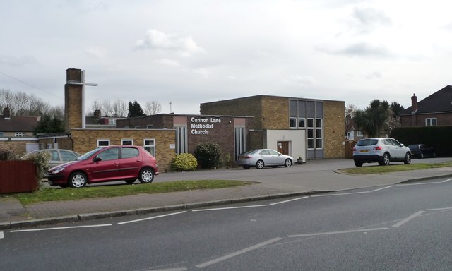
Image: © Christine Johnstone Taken: 8 Mar 2016
This started in 1956, in temporary premises, as a church for the rapidly developing community around Cannon Lane.
Images are licensed for reuse under creativecommons.org/licenses/by-sa/2.0
Image Location
Latitude
51.580233
Longitude
-0.381409