Hook Lane
Introduction
The photograph on this page of Hook Lane by Neil Owen as part of the Geograph project.
The Geograph project started in 2005 with the aim of publishing, organising and preserving representative images for every square kilometre of Great Britain, Ireland and the Isle of Man.

There are currently over 7.5m images from over 14,400 individuals and you can help contribute to the project by visiting https://www.geograph.org.uk
Hook Lane
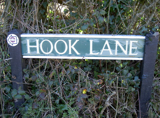
Image: © Neil Owen Taken: 7 Mar 2016
Note the small trail sign: it's a pub trail that takes in several of the inns owned by Butcombe Brewery. Their Mendip Pub Trail includes the Ring o' Bells in Hinton Blewett. See Image] for a wider view.
Images are licensed for reuse under creativecommons.org/licenses/by-sa/2.0
Image Location
Latitude
51.306412
Longitude
-2.587543