Footpath this way, pub path that way
Introduction
The photograph on this page of Footpath this way, pub path that way by Neil Owen as part of the Geograph project.
The Geograph project started in 2005 with the aim of publishing, organising and preserving representative images for every square kilometre of Great Britain, Ireland and the Isle of Man.

There are currently over 7.5m images from over 14,400 individuals and you can help contribute to the project by visiting https://www.geograph.org.uk
Footpath this way, pub path that way
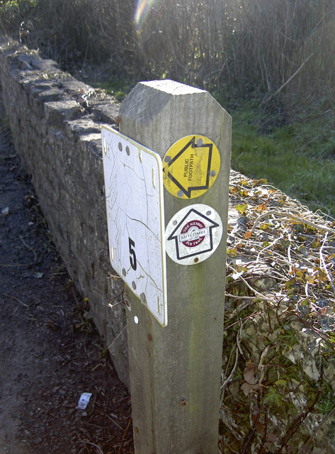
Image: © Neil Owen Taken: 7 Mar 2016
A fire hydrant post (with a very faded stick-on sign over the original yellow plate) also provides directions for travellers. One is a conventional arrow for an official footpath, the other is courtesy of Butcombe Brewery. They have produced a 45 mile (72km) trail that links several of their owned inns in Somerset, one of which is the Ring o' Bells in Hinton Blewett. Just make sure you know which one you want to follow.
Images are licensed for reuse under creativecommons.org/licenses/by-sa/2.0
Image Location
Latitude
51.307047
Longitude
-2.586403