Dover: town view from the top of the castle
Introduction
The photograph on this page of Dover: town view from the top of the castle by Chris Downer as part of the Geograph project.
The Geograph project started in 2005 with the aim of publishing, organising and preserving representative images for every square kilometre of Great Britain, Ireland and the Isle of Man.

There are currently over 7.5m images from over 14,400 individuals and you can help contribute to the project by visiting https://www.geograph.org.uk
Dover: town view from the top of the castle
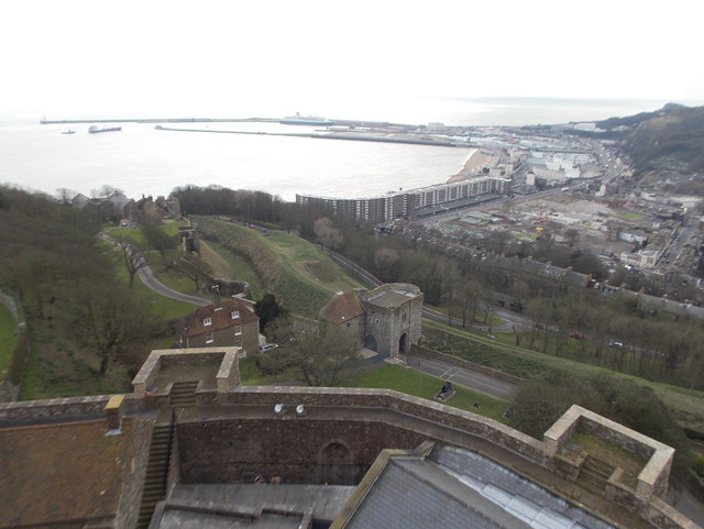
Image: © Chris Downer Taken: 27 Feb 2016
Looking over the western docks from the roof of the castle keep.
Images are licensed for reuse under creativecommons.org/licenses/by-sa/2.0
Image Location
Latitude
51.126944
Longitude
1.320392