Path junction at Cullingworth
Introduction
The photograph on this page of Path junction at Cullingworth by Gordon Hatton as part of the Geograph project.
The Geograph project started in 2005 with the aim of publishing, organising and preserving representative images for every square kilometre of Great Britain, Ireland and the Isle of Man.

There are currently over 7.5m images from over 14,400 individuals and you can help contribute to the project by visiting https://www.geograph.org.uk
Path junction at Cullingworth
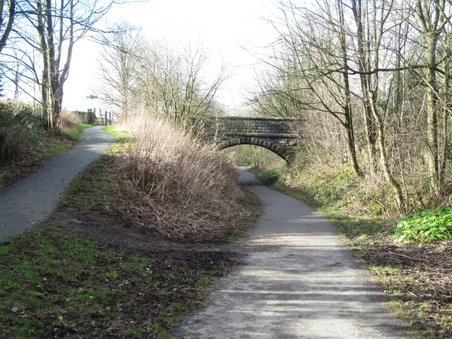
Image: © Gordon Hatton Taken: 11 Feb 2016
The main path here is part of the Great Northern Trail and follows the old GNR rail track past Cullingworth. To the left is a ramp which joins a bridleway that passes over the bridge.
Images are licensed for reuse under creativecommons.org/licenses/by-sa/2.0
Image Location
Latitude
53.821309
Longitude
-1.894999