WWII defences in the environs of Bournemouth & Christchurch: Pokesdown - pillbox (1)
Introduction
The photograph on this page of WWII defences in the environs of Bournemouth & Christchurch: Pokesdown - pillbox (1) by Mike Searle as part of the Geograph project.
The Geograph project started in 2005 with the aim of publishing, organising and preserving representative images for every square kilometre of Great Britain, Ireland and the Isle of Man.

There are currently over 7.5m images from over 14,400 individuals and you can help contribute to the project by visiting https://www.geograph.org.uk
WWII defences in the environs of Bournemouth & Christchurch: Pokesdown - pillbox (1)
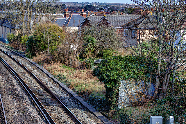
Image: © Mike Searle Taken: 4 Mar 2016
- Pillbox (unclassified): DoB ID: e11458 View from the railway bridge in Southbourne Road of a square unidentified pillbox on the S side of the railway embankment. Image
Images are licensed for reuse under creativecommons.org/licenses/by-sa/2.0
Image Location
Latitude
50.731617
Longitude
-1.819291