Route confirmatory sign, Ballyclare (March 2016)
Introduction
The photograph on this page of Route confirmatory sign, Ballyclare (March 2016) by Albert Bridge as part of the Geograph project.
The Geograph project started in 2005 with the aim of publishing, organising and preserving representative images for every square kilometre of Great Britain, Ireland and the Isle of Man.

There are currently over 7.5m images from over 14,400 individuals and you can help contribute to the project by visiting https://www.geograph.org.uk
Route confirmatory sign, Ballyclare (March 2016)
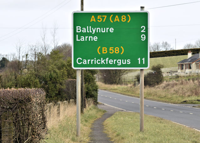
Image: © Albert Bridge Taken: 6 Mar 2016
A route confirmatory sign (green background for a primary road) on this stretch of the Templepatrick Road Image
Images are licensed for reuse under creativecommons.org/licenses/by-sa/2.0
Image Location
Latitude
54.757607
Longitude
-5.977672