Luscombe Mews, Bridgetown
Introduction
The photograph on this page of Luscombe Mews, Bridgetown by Derek Harper as part of the Geograph project.
The Geograph project started in 2005 with the aim of publishing, organising and preserving representative images for every square kilometre of Great Britain, Ireland and the Isle of Man.

There are currently over 7.5m images from over 14,400 individuals and you can help contribute to the project by visiting https://www.geograph.org.uk
Luscombe Mews, Bridgetown
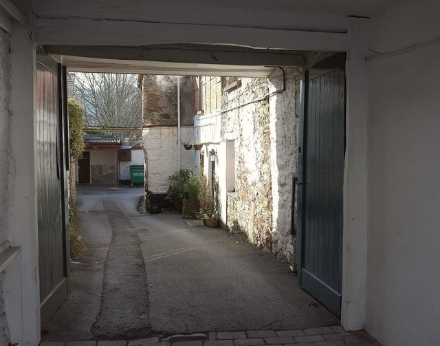
Image: © Derek Harper Taken: 28 Feb 2016
A slightly different angle on the scene in Image, allowing a snippet from the listed building description for the building in the foreground: "carriage entrance at east end with timber lintol" https://www.historicengland.org.uk/listing/the-list/list-entry/1107497 .
Images are licensed for reuse under creativecommons.org/licenses/by-sa/2.0
Image Location
Latitude
50.430055
Longitude
-3.679897