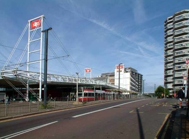
East Croydon railway station
Introduction
The photograph on this page of East Croydon railway station by Philip Talmage as part of the Geograph project.
The Geograph project started in 2005 with the aim of publishing, organising and preserving representative images for every square kilometre of Great Britain, Ireland and the Isle of Man.
There are currently over 7.5m images from over 14,400 individuals and you can help contribute to the project by visiting https://www.geograph.org.uk

Image: © Philip Talmage Taken: 26 Aug 2005
East Croydon is a major rail hub in south London, connected by high-speed services to London Bridge, Clapham Junction and Victoria. In 1992, British Rail replaced the Victorian brick-built station, spanning the lines, with this cantilevered steel-and-glass construction. The design avoided the need to replace the bridge carrying the road over the railway. Further measures to keep down costs included use of the old platforms, ramps and even the iron columns holding up the awnings - although these were disguised with cladding. Just to the right of the station is the former postal sorting office. On the extreme right of the picture is the NLA Tower - known locally as the "threepenny bit building".
Image Location


