Poundbury Hill Fort, Dorchester
Introduction
The photograph on this page of Poundbury Hill Fort, Dorchester by Becky Williamson as part of the Geograph project.
The Geograph project started in 2005 with the aim of publishing, organising and preserving representative images for every square kilometre of Great Britain, Ireland and the Isle of Man.

There are currently over 7.5m images from over 14,400 individuals and you can help contribute to the project by visiting https://www.geograph.org.uk
Poundbury Hill Fort, Dorchester
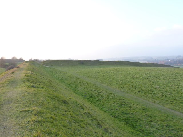
Image: © Becky Williamson Taken: 15 Feb 2015
Poundbury Hill is the site of a Middle Bronze Age fort or enclosure. It is roughly rectangular and it is likely that it was designed to command views over the River Frome and the Frome valley to the north. The main entrance to the fort is on the eastern end. It overlooks the county town of Dorchester. (Source: Wikipedia)
Images are licensed for reuse under creativecommons.org/licenses/by-sa/2.0
Image Location
Latitude
50.718377
Longitude
-2.452668