Arable field by the Fosse Way
Introduction
The photograph on this page of Arable field by the Fosse Way by Derek Harper as part of the Geograph project.
The Geograph project started in 2005 with the aim of publishing, organising and preserving representative images for every square kilometre of Great Britain, Ireland and the Isle of Man.

There are currently over 7.5m images from over 14,400 individuals and you can help contribute to the project by visiting https://www.geograph.org.uk
Arable field by the Fosse Way
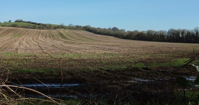
Image: © Derek Harper Taken: 16 Feb 2016
The tree-lined Fosse, here a byway runs along the right side of the field, joining the A367 up the hill.
Images are licensed for reuse under creativecommons.org/licenses/by-sa/2.0
Image Location
Latitude
51.342894
Longitude
-2.401943