Bridgwater : Bridgwater and Taunton Canal
Introduction
The photograph on this page of Bridgwater : Bridgwater and Taunton Canal by Lewis Clarke as part of the Geograph project.
The Geograph project started in 2005 with the aim of publishing, organising and preserving representative images for every square kilometre of Great Britain, Ireland and the Isle of Man.

There are currently over 7.5m images from over 14,400 individuals and you can help contribute to the project by visiting https://www.geograph.org.uk
Bridgwater : Bridgwater and Taunton Canal
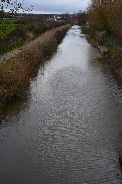
Image: © Lewis Clarke Taken: 20 Feb 2016
Despite commercial traffic ceasing in 1907, the infrastructure was maintained in good order, and the canal was used for the transport of potable water from 1962. The Countryside Act 1968 provided a framework for Somerset County Council to start the restoration of the canal as a leisure facility, which was completed in 1994, when the canal was reopened throughout.
Images are licensed for reuse under creativecommons.org/licenses/by-sa/2.0
Image Location
Latitude
51.123655
Longitude
-3.003033