The Links, Whitley Bay
Introduction
The photograph on this page of The Links, Whitley Bay by Graham Robson as part of the Geograph project.
The Geograph project started in 2005 with the aim of publishing, organising and preserving representative images for every square kilometre of Great Britain, Ireland and the Isle of Man.

There are currently over 7.5m images from over 14,400 individuals and you can help contribute to the project by visiting https://www.geograph.org.uk
The Links, Whitley Bay
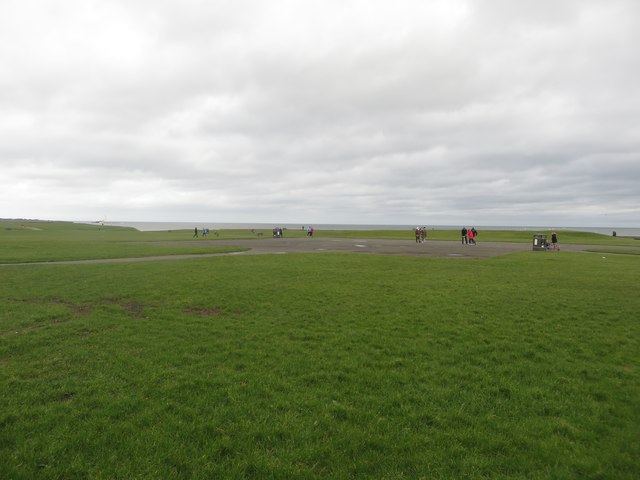
Image: © Graham Robson Taken: 20 Feb 2016
A large flat expanse of grass criss crossed by footpaths on the seafront at Whitley Bay, north of the Spanish City site.
Images are licensed for reuse under creativecommons.org/licenses/by-sa/2.0
Image Location


Leaflet Map data © OpenStreetMap
Latitude
55.048723
Longitude
-1.449358