57 Radnor Cliff
Introduction
The photograph on this page of 57 Radnor Cliff by Ian Capper as part of the Geograph project.
The Geograph project started in 2005 with the aim of publishing, organising and preserving representative images for every square kilometre of Great Britain, Ireland and the Isle of Man.

There are currently over 7.5m images from over 14,400 individuals and you can help contribute to the project by visiting https://www.geograph.org.uk
57 Radnor Cliff
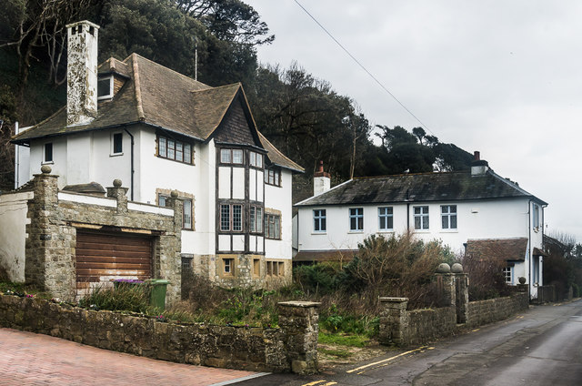
Image: © Ian Capper Taken: 6 Feb 2016
Comparison of 6" maps revised in 1938 and 1945 suggest that this large house, along with its neighbour beyond, no 59, was built between these dates.
Images are licensed for reuse under creativecommons.org/licenses/by-sa/2.0
Image Location
Latitude
51.073958
Longitude
1.160048