Raith Lake
Introduction
The photograph on this page of Raith Lake by James Allan as part of the Geograph project.
The Geograph project started in 2005 with the aim of publishing, organising and preserving representative images for every square kilometre of Great Britain, Ireland and the Isle of Man.

There are currently over 7.5m images from over 14,400 individuals and you can help contribute to the project by visiting https://www.geograph.org.uk
Raith Lake
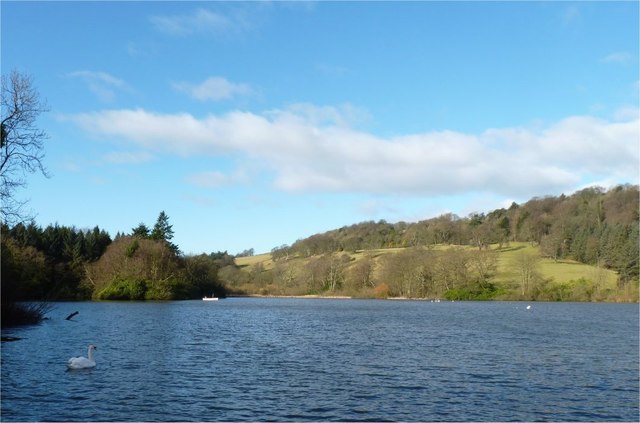
Image: © James Allan Taken: 22 Feb 2016
The eastern end of Raith Lake, seen from the angling boat pier.
Images are licensed for reuse under creativecommons.org/licenses/by-sa/2.0
Image Location
Latitude
56.109798
Longitude
-3.190019