Cyclepath to Woodhorn
Introduction
The photograph on this page of Cyclepath to Woodhorn by Jim Barton as part of the Geograph project.
The Geograph project started in 2005 with the aim of publishing, organising and preserving representative images for every square kilometre of Great Britain, Ireland and the Isle of Man.

There are currently over 7.5m images from over 14,400 individuals and you can help contribute to the project by visiting https://www.geograph.org.uk
Cyclepath to Woodhorn
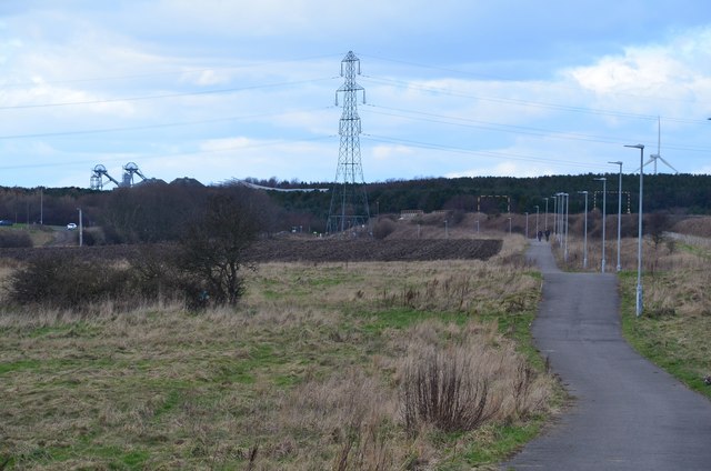
Image: © Jim Barton Taken: 23 Feb 2016
A traffic-free route from Newbiggin to the A189 near Woodhorn. On the left is the pithead winding gear at Woodhorn Colliery, now a mining museum.
Images are licensed for reuse under creativecommons.org/licenses/by-sa/2.0
Image Location


Leaflet Map data © OpenStreetMap
Latitude
55.186545
Longitude
-1.529285