Footbridge over the M42
Introduction
The photograph on this page of Footbridge over the M42 by Richard Law as part of the Geograph project.
The Geograph project started in 2005 with the aim of publishing, organising and preserving representative images for every square kilometre of Great Britain, Ireland and the Isle of Man.

There are currently over 7.5m images from over 14,400 individuals and you can help contribute to the project by visiting https://www.geograph.org.uk
Footbridge over the M42
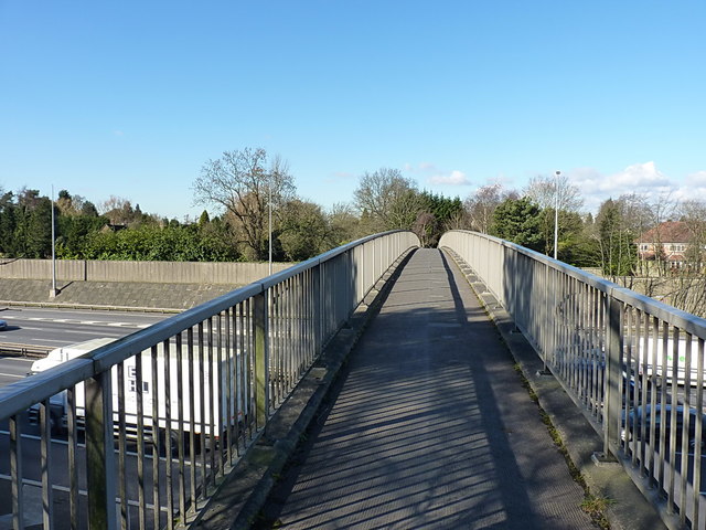
Image: © Richard Law Taken: 24 Feb 2016
Pretty accurately following the line of the original Warwick Road, this bridge is only really accessible to pedestrians and cyclists; it joins Copt Heath to Solihull, the Warwick Road having been cut in two by the M42.
Images are licensed for reuse under creativecommons.org/licenses/by-sa/2.0
Image Location
Latitude
52.404072
Longitude
-1.753163