Defending Dorset in 1940: the Maiden Newton - Poole Harbour Stop Line (11)
Introduction
The photograph on this page of Defending Dorset in 1940: the Maiden Newton - Poole Harbour Stop Line (11) by Mike Searle as part of the Geograph project.
The Geograph project started in 2005 with the aim of publishing, organising and preserving representative images for every square kilometre of Great Britain, Ireland and the Isle of Man.

There are currently over 7.5m images from over 14,400 individuals and you can help contribute to the project by visiting https://www.geograph.org.uk
Defending Dorset in 1940: the Maiden Newton - Poole Harbour Stop Line (11)
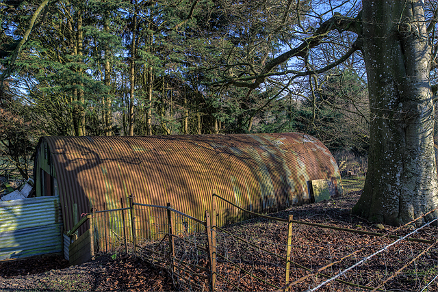
Image: © Mike Searle Taken: 20 Jan 2016
Maiden Newton Anti-tank Island - Nissen Hut. The second of two surviving Nissen huts in Chilfrome Lane, still in use some 70 odd years later. Image
Images are licensed for reuse under creativecommons.org/licenses/by-sa/2.0
Image Location


Leaflet Map data © OpenStreetMap
Latitude
50.77898
Longitude
-2.576651