Heading north on Skippers Lane
Introduction
The photograph on this page of Heading north on Skippers Lane by Stephen McCulloch as part of the Geograph project.
The Geograph project started in 2005 with the aim of publishing, organising and preserving representative images for every square kilometre of Great Britain, Ireland and the Isle of Man.

There are currently over 7.5m images from over 14,400 individuals and you can help contribute to the project by visiting https://www.geograph.org.uk
Heading north on Skippers Lane
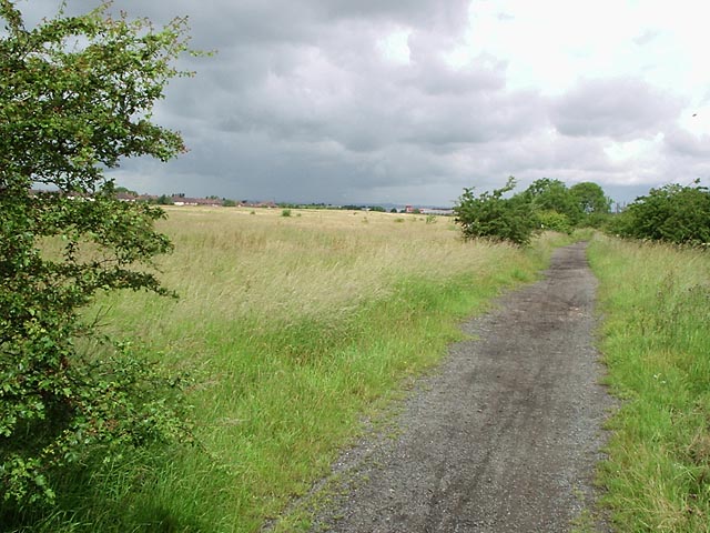
Image: © Stephen McCulloch Taken: 3 Jul 2007
Farm track leading to High Farm. The fields have been uncultivated for several years. Houses visible on the left are on the Thorntree estate.
Images are licensed for reuse under creativecommons.org/licenses/by-sa/2.0
Image Location
Latitude
54.562491
Longitude
-1.171065