Lamin's Lane, Redhill, Notts.
Introduction
The photograph on this page of Lamin's Lane, Redhill, Notts. by David Hallam-Jones as part of the Geograph project.
The Geograph project started in 2005 with the aim of publishing, organising and preserving representative images for every square kilometre of Great Britain, Ireland and the Isle of Man.

There are currently over 7.5m images from over 14,400 individuals and you can help contribute to the project by visiting https://www.geograph.org.uk
Lamin's Lane, Redhill, Notts.
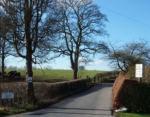
Image: © David Hallam-Jones Taken: 24 Feb 2016
Lamin's Lane is seen here from the main A60 (i.e. the main Nottingham-Mansfield road). The lane is designated a “private road” and leads almost immediately to the entrance to Top House Farm and then on to Killarney Park, a mobile home park (for authorised vehicles) and to Bestwood Country Park for walkers. The Robin Hood Trail, a long distance path passes through both of the latter. The name Lamin is derived from the surname Lambert and an alternative spelling of the same surname, i.e. Lambin. The former Bestwood Pumping Station is situated on the A60 to the right of the picture, 2 minute's walk away.
Images are licensed for reuse under creativecommons.org/licenses/by-sa/2.0
Image Location
Latitude
53.026418
Longitude
-1.135796