The Street, Chilmark 2
Introduction
The photograph on this page of The Street, Chilmark 2 by Andy Gryce as part of the Geograph project.
The Geograph project started in 2005 with the aim of publishing, organising and preserving representative images for every square kilometre of Great Britain, Ireland and the Isle of Man.

There are currently over 7.5m images from over 14,400 individuals and you can help contribute to the project by visiting https://www.geograph.org.uk
The Street, Chilmark 2
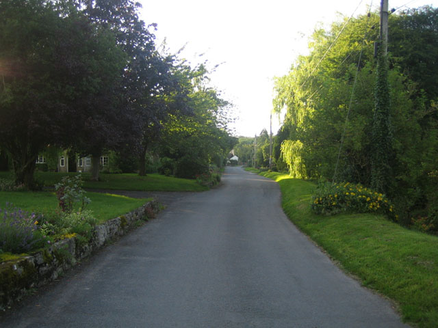
Image: © Andy Gryce Taken: 29 Jun 2007
The Street is the main street of the village of Chilmark off which lies the church, school, and innumerable stone-built and often thatched cottages. This view looking north-west is of the tree-lined south end of The Street with houses set back from the road. On the right a dried up stream bed runs alongside the road. See also Image
Images are licensed for reuse under creativecommons.org/licenses/by-sa/2.0
Image Location
Latitude
51.090634
Longitude
-2.042785