Fosse Way Dinnington
Introduction
The photograph on this page of Fosse Way Dinnington by Nigel Mykura as part of the Geograph project.
The Geograph project started in 2005 with the aim of publishing, organising and preserving representative images for every square kilometre of Great Britain, Ireland and the Isle of Man.

There are currently over 7.5m images from over 14,400 individuals and you can help contribute to the project by visiting https://www.geograph.org.uk
Fosse Way Dinnington
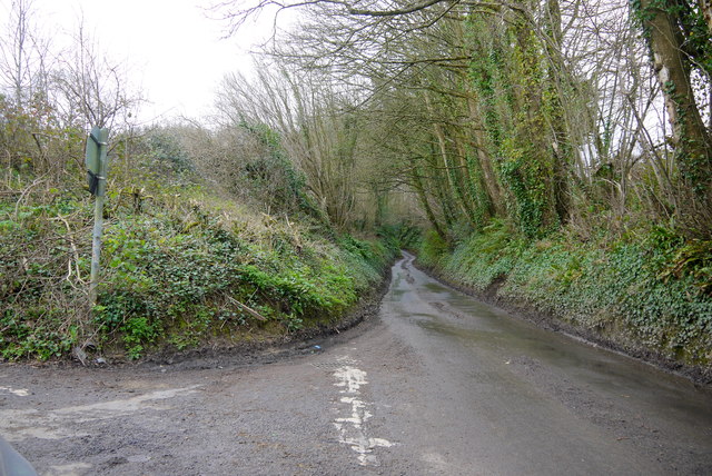
Image: © Nigel Mykura Taken: 19 Feb 2016
Now a minor single track sunken lane with very few passing places, this used to be one of the most important roads in Britain and the north west frontier of the Roman Empire.
Images are licensed for reuse under creativecommons.org/licenses/by-sa/2.0
Image Location


Leaflet Map data © OpenStreetMap
Latitude
50.912808
Longitude
-2.852691