Fosse Way
Introduction
The photograph on this page of Fosse Way by Nigel Mykura as part of the Geograph project.
The Geograph project started in 2005 with the aim of publishing, organising and preserving representative images for every square kilometre of Great Britain, Ireland and the Isle of Man.

There are currently over 7.5m images from over 14,400 individuals and you can help contribute to the project by visiting https://www.geograph.org.uk
Fosse Way
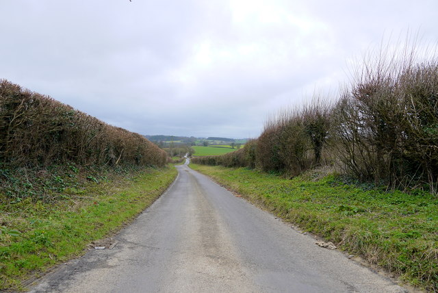
Image: © Nigel Mykura Taken: 19 Feb 2016
This is the line of the old Roman road which is now occupied by the minor road from Over Stratton to Dinnington. It was presumably dead straight in Roman times. It has a few very minor wobbles now.
Images are licensed for reuse under creativecommons.org/licenses/by-sa/2.0
Image Location
Latitude
50.925393
Longitude
-2.828307