16 - 18 Radnor Cliff
Introduction
The photograph on this page of 16 - 18 Radnor Cliff by Ian Capper as part of the Geograph project.
The Geograph project started in 2005 with the aim of publishing, organising and preserving representative images for every square kilometre of Great Britain, Ireland and the Isle of Man.

There are currently over 7.5m images from over 14,400 individuals and you can help contribute to the project by visiting https://www.geograph.org.uk
16 - 18 Radnor Cliff
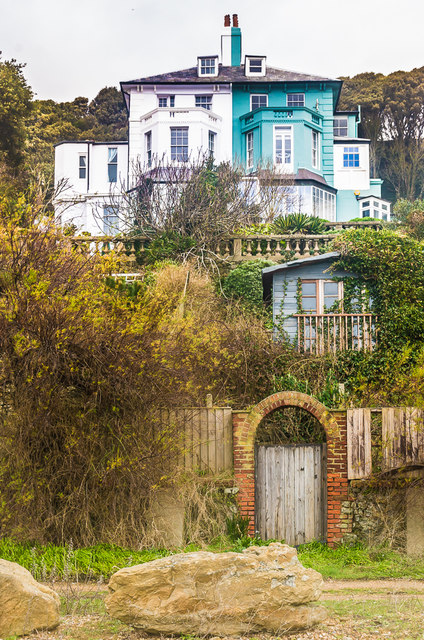
Image: © Ian Capper Taken: 6 Feb 2016
The rear of 16 - 18 Radnor Cliff, one of a number of mid 19th Century houses towards the eastern end of Radnor Cliff, all grade II listed - for this building, see https://www.historicengland.org.uk/listing/the-list/list-entry/1344134.
Images are licensed for reuse under creativecommons.org/licenses/by-sa/2.0
Image Location
Latitude
51.073892
Longitude
1.156503