Heddfan, Brynmawr
Introduction
The photograph on this page of Heddfan, Brynmawr by Jaggery as part of the Geograph project.
The Geograph project started in 2005 with the aim of publishing, organising and preserving representative images for every square kilometre of Great Britain, Ireland and the Isle of Man.

There are currently over 7.5m images from over 14,400 individuals and you can help contribute to the project by visiting https://www.geograph.org.uk
Heddfan, Brynmawr
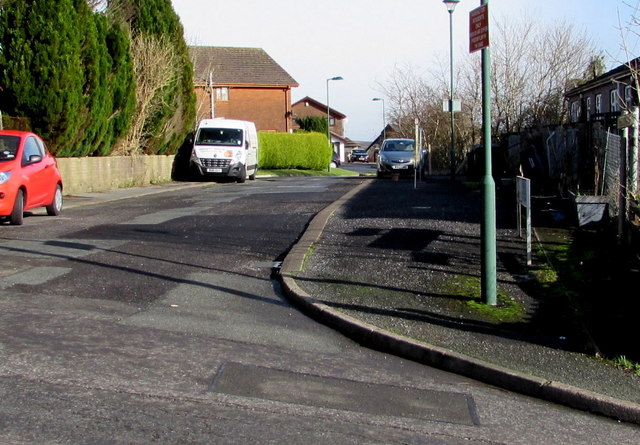
Image: © Jaggery Taken: 2 Feb 2016
Heddfan is a cul-de-sac extending for nearly 100 metres from the east side of Queen Street.
Images are licensed for reuse under creativecommons.org/licenses/by-sa/2.0
Image Location
Latitude
51.801303
Longitude
-3.175213