Blandford Forum by-pass dropping into valley of River Stour
Introduction
The photograph on this page of Blandford Forum by-pass dropping into valley of River Stour by David Smith as part of the Geograph project.
The Geograph project started in 2005 with the aim of publishing, organising and preserving representative images for every square kilometre of Great Britain, Ireland and the Isle of Man.

There are currently over 7.5m images from over 14,400 individuals and you can help contribute to the project by visiting https://www.geograph.org.uk
Blandford Forum by-pass dropping into valley of River Stour
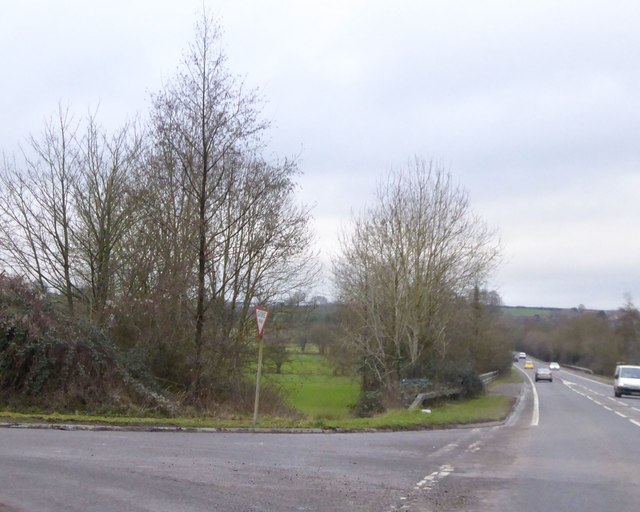
Image: © David Smith Taken: 12 Feb 2016
The by-pass crosses the wide flood plain between roundabouts for the B3082 and A350. The minor road on the left follows the edge of the flood plain and the by-pass is raised above the fields, hence the crash barriers
Images are licensed for reuse under creativecommons.org/licenses/by-sa/2.0
Image Location
Latitude
50.854313
Longitude
-2.153661