Daviot
Introduction
The photograph on this page of Daviot by Anne Burgess as part of the Geograph project.
The Geograph project started in 2005 with the aim of publishing, organising and preserving representative images for every square kilometre of Great Britain, Ireland and the Isle of Man.

There are currently over 7.5m images from over 14,400 individuals and you can help contribute to the project by visiting https://www.geograph.org.uk
Daviot
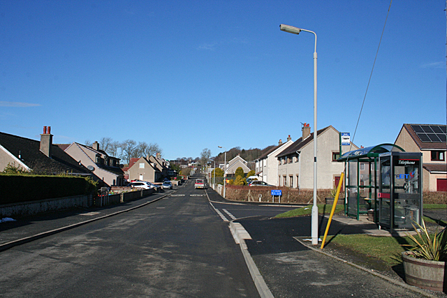
Image: © Anne Burgess Taken: 18 Feb 2016
This, the newer part of the village, boasts two of the village amenities in the shape of the bus stop of telephone kiosk. There are also a kirk, a school and a pub, not in this view.
Images are licensed for reuse under creativecommons.org/licenses/by-sa/2.0
Image Location
Latitude
57.344512
Longitude
-2.418845