Closure of a footpath
Introduction
The photograph on this page of Closure of a footpath by John Baker as part of the Geograph project.
The Geograph project started in 2005 with the aim of publishing, organising and preserving representative images for every square kilometre of Great Britain, Ireland and the Isle of Man.

There are currently over 7.5m images from over 14,400 individuals and you can help contribute to the project by visiting https://www.geograph.org.uk
Closure of a footpath
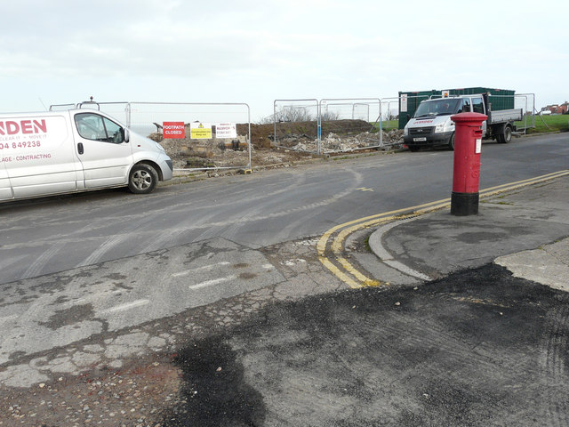
Image: © John Baker Taken: 25 Jan 2016
Seen from the end of Hill Top Road, at its junction with Beacon Hill, an area on the other side of the road has been fenced off and a notice affixed to the fence advising the public that the footpath (is) closed. This presumably relates to Image
Images are licensed for reuse under creativecommons.org/licenses/by-sa/2.0
Image Location
Latitude
51.371718
Longitude
1.140485