Churchyard, Brynmawr
Introduction
The photograph on this page of Churchyard, Brynmawr by Jaggery as part of the Geograph project.
The Geograph project started in 2005 with the aim of publishing, organising and preserving representative images for every square kilometre of Great Britain, Ireland and the Isle of Man.

There are currently over 7.5m images from over 14,400 individuals and you can help contribute to the project by visiting https://www.geograph.org.uk
Churchyard, Brynmawr
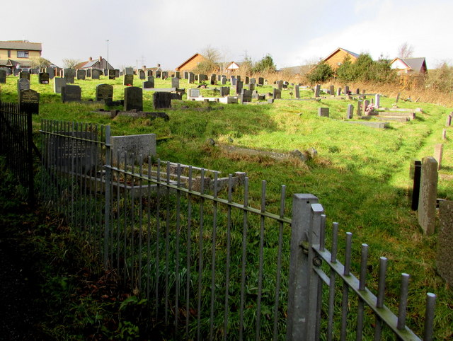
Image: © Jaggery Taken: 2 Feb 2016
On the northwest side of the Church of St Mary the Virgin, http://www.geograph.org.uk/photo/4830400 the roughly rectangular burial ground measures about 100 metres west to east and c40 metres north to south.
Images are licensed for reuse under creativecommons.org/licenses/by-sa/2.0
Image Location
Latitude
51.802203
Longitude
-3.175091