Downing Street, Newport
Introduction
The photograph on this page of Downing Street, Newport by Jaggery as part of the Geograph project.
The Geograph project started in 2005 with the aim of publishing, organising and preserving representative images for every square kilometre of Great Britain, Ireland and the Isle of Man.

There are currently over 7.5m images from over 14,400 individuals and you can help contribute to the project by visiting https://www.geograph.org.uk
Downing Street, Newport
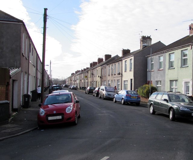
Image: © Jaggery Taken: 16 Feb 2016
Dead-end street extending for 180 metres from Somerton Road (behind the camera) to Liswerry Pill Reen, a drainage channel.
Images are licensed for reuse under creativecommons.org/licenses/by-sa/2.0
Image Location
Latitude
51.580339
Longitude
-2.962402