Back of former Mount St Mary's church
Introduction
The photograph on this page of Back of former Mount St Mary's church by Stephen Craven as part of the Geograph project.
The Geograph project started in 2005 with the aim of publishing, organising and preserving representative images for every square kilometre of Great Britain, Ireland and the Isle of Man.

There are currently over 7.5m images from over 14,400 individuals and you can help contribute to the project by visiting https://www.geograph.org.uk
Back of former Mount St Mary's church
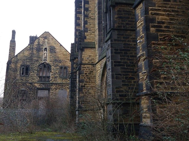
Image: © Stephen Craven Taken: 12 Feb 2016
Seen through a gate at the top of blocked steps Image See Image for the church. The building in the background is the former presbytery, which is grade 2 listed (list entry 1255559) and also appears derelict.
Images are licensed for reuse under creativecommons.org/licenses/by-sa/2.0
Image Location
Latitude
53.794175
Longitude
-1.526181