Peabody Estate, Wadding Street
Introduction
The photograph on this page of Peabody Estate, Wadding Street by Stephen Richards as part of the Geograph project.
The Geograph project started in 2005 with the aim of publishing, organising and preserving representative images for every square kilometre of Great Britain, Ireland and the Isle of Man.

There are currently over 7.5m images from over 14,400 individuals and you can help contribute to the project by visiting https://www.geograph.org.uk
Peabody Estate, Wadding Street
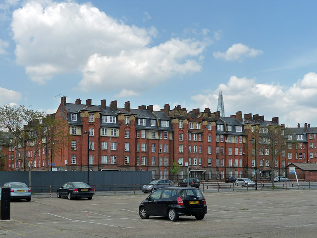
Image: © Stephen Richards Taken: 6 May 2013
Dated 1915. Closer view: Image Note the omni-present Shard. I believe the car park has since been turned into flats.
Images are licensed for reuse under creativecommons.org/licenses/by-sa/2.0
Image Location
Latitude
51.491177
Longitude
-0.092146