The White Horse, Empingham
Introduction
The photograph on this page of The White Horse, Empingham by Alan Murray-Rust as part of the Geograph project.
The Geograph project started in 2005 with the aim of publishing, organising and preserving representative images for every square kilometre of Great Britain, Ireland and the Isle of Man.

There are currently over 7.5m images from over 14,400 individuals and you can help contribute to the project by visiting https://www.geograph.org.uk
The White Horse, Empingham
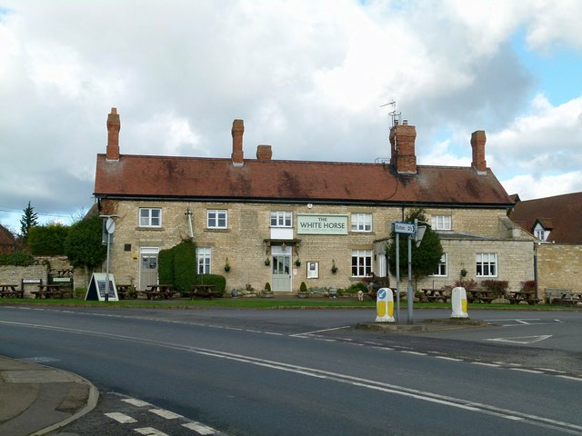
Image: © Alan Murray-Rust Taken: 10 Feb 2016
Possibly originally a farmhouse – there is a set of former farm buildings at the rear – but certainly given the Ancaster update in the 19th century with its tall chimneys and red tiled roof. On the edge of the village centre, but well placed to catch the passing trade on the main A606.
Images are licensed for reuse under creativecommons.org/licenses/by-sa/2.0
Image Location
Latitude
52.66692
Longitude
-0.599311