Housing development in Abertridwr
Introduction
The photograph on this page of Housing development in Abertridwr by Bill Boaden as part of the Geograph project.
The Geograph project started in 2005 with the aim of publishing, organising and preserving representative images for every square kilometre of Great Britain, Ireland and the Isle of Man.

There are currently over 7.5m images from over 14,400 individuals and you can help contribute to the project by visiting https://www.geograph.org.uk
Housing development in Abertridwr
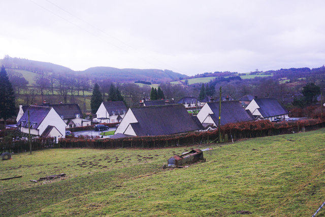
Image: © Bill Boaden Taken: 5 Feb 2016
Necessary housing viewed in fading light on a wet winter afternoon.
Images are licensed for reuse under creativecommons.org/licenses/by-sa/2.0
Image Location
Latitude
52.76131
Longitude
-3.431048