The Loughbrickland Road, Gilford
Introduction
The photograph on this page of The Loughbrickland Road, Gilford by Albert Bridge as part of the Geograph project.
The Geograph project started in 2005 with the aim of publishing, organising and preserving representative images for every square kilometre of Great Britain, Ireland and the Isle of Man.

There are currently over 7.5m images from over 14,400 individuals and you can help contribute to the project by visiting https://www.geograph.org.uk
The Loughbrickland Road, Gilford
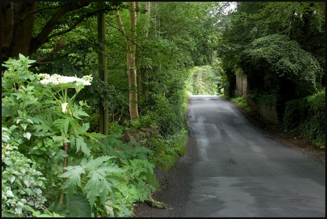
Image: © Albert Bridge Taken: 1 Jul 2007
The Loughbrickland Road runs from just outside Gilford to Ballyvarley crossroads Image and thence to Loughbrickland as the Lisnagade Road. The view is towards Ballyvarley with the Bann and the grounds of Gilford Castle out of sight on the left.
Images are licensed for reuse under creativecommons.org/licenses/by-sa/2.0
Image Location
Latitude
54.365046
Longitude
-6.362289