Wootton Lane at Lower Wootton
Introduction
The photograph on this page of Wootton Lane at Lower Wootton by Jonathan Billinger as part of the Geograph project.
The Geograph project started in 2005 with the aim of publishing, organising and preserving representative images for every square kilometre of Great Britain, Ireland and the Isle of Man.

There are currently over 7.5m images from over 14,400 individuals and you can help contribute to the project by visiting https://www.geograph.org.uk
Wootton Lane at Lower Wootton
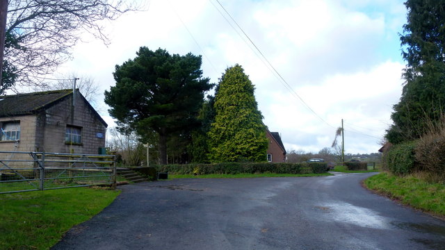
Image: © Jonathan Billinger Taken: 10 Feb 2016
The path and road to Upper Wootton can be seen past the concrete farm building to the left.
Images are licensed for reuse under creativecommons.org/licenses/by-sa/2.0
Image Location


Leaflet Map data © OpenStreetMap
Latitude
52.168908
Longitude
-2.983534