Hoarding, Island Road (A28)
Introduction
The photograph on this page of Hoarding, Island Road (A28) by John Baker as part of the Geograph project.
The Geograph project started in 2005 with the aim of publishing, organising and preserving representative images for every square kilometre of Great Britain, Ireland and the Isle of Man.

There are currently over 7.5m images from over 14,400 individuals and you can help contribute to the project by visiting https://www.geograph.org.uk
Hoarding, Island Road (A28)
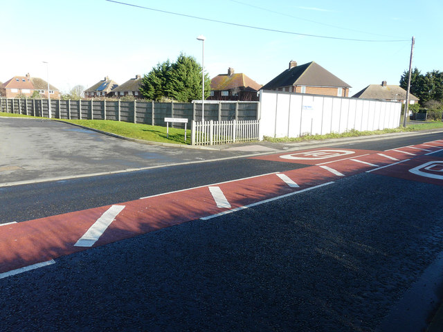
Image: © John Baker Taken: 25 Jan 2016
Planning permission has been granted by Canterbury City Council under application number CA//14/01386 for a “proposed residential development consisting of 10 one bed flats, together with access and parking”. The location was described as land between The Sycamores and Chequer Tree Close, Island Road. The road sign, for Chequer Tree Close, can be seen to the left of the hoarding.
Images are licensed for reuse under creativecommons.org/licenses/by-sa/2.0
Image Location
Latitude
51.313403
Longitude
1.158314