Damaged benchmark on building in Chapel Street, Penzance
Introduction
The photograph on this page of Damaged benchmark on building in Chapel Street, Penzance by Becky Williamson as part of the Geograph project.
The Geograph project started in 2005 with the aim of publishing, organising and preserving representative images for every square kilometre of Great Britain, Ireland and the Isle of Man.

There are currently over 7.5m images from over 14,400 individuals and you can help contribute to the project by visiting https://www.geograph.org.uk
Damaged benchmark on building in Chapel Street, Penzance
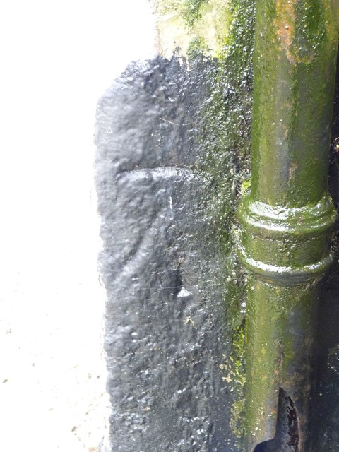
Image: © Becky Williamson Taken: 12 Feb 2016
Ordnance Survey benchmark with right-hand side arrow line missing. Described on database at http://www.bench-marks.org.uk/bm73424.
Images are licensed for reuse under creativecommons.org/licenses/by-sa/2.0
Image Location
Latitude
50.117532
Longitude
-5.53587