Llwybr Gelli'r Wydd Path
Introduction
The photograph on this page of Llwybr Gelli'r Wydd Path by Alan Richards as part of the Geograph project.
The Geograph project started in 2005 with the aim of publishing, organising and preserving representative images for every square kilometre of Great Britain, Ireland and the Isle of Man.

There are currently over 7.5m images from over 14,400 individuals and you can help contribute to the project by visiting https://www.geograph.org.uk
Llwybr Gelli'r Wydd Path
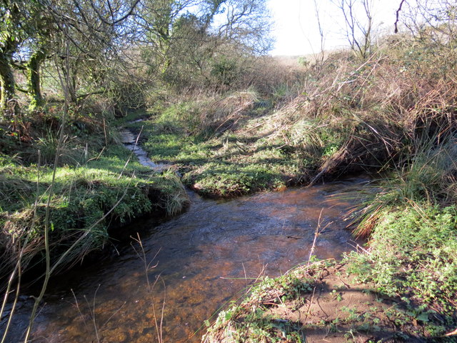
Image: © Alan Richards Taken: 10 Feb 2016
Llwybr cyhoeddus yn rhydio nant ddienw ger Llwynteg. Mae'r llwybr yn wlyb a mwdlyd iawn mewn mannau. A public footpath fording an unnamed stream near Llwynteg (trans. fair grove). The path is very wet and muddy in places.
Images are licensed for reuse under creativecommons.org/licenses/by-sa/2.0
Image Location
Latitude
51.753428
Longitude
-4.105552